Tag Archives: Cedar Creek Falls

Oakzanita Peak via East Mesa Fire Road Trail: Cuyamaca Rancho State Park, East Mesa Trailhead 01/10/2019

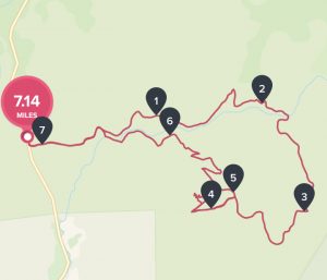
Distance: 7.14 mi Steps:  16128  Elevation Gain: 1150′ Hike Time: 3:09:22min Temp: 70’s Hikeability:  Moderate Strenuous  

Water & Snack: 1.5 liters out of 2 taken, Probar, Orange. 

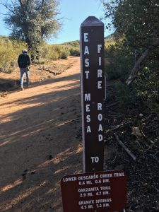
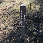
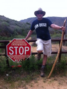
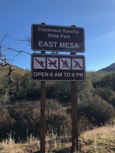
Directions: East Mesa Fire Road Trailhead:  Take I-8 East toward Alpine and continue east to exit 40, signed as Hwy 79/Japatul Rd.  Exit here. Go north on Hwy 79 about 4 miles to Cuyamaca Rancho State Park East Mesa, which is on the right. There is side of the road parking on an asphalt turnout. no facilities or drinking water.  (Please see photo below for TrailHead Sign) 

Another route if coming from North County: Take I-5 south to SR 78 in San Diego County. Go east on SR 78 through Escondido to the junction with SR 79 just past the town of Julian. Turn right (south) on SR 79.Go south on SR 79 for 9 miles to the Cuyamaca Dam.Continue 2.7 miles to the entrance to Paso Picacho Park on the right. Continue 5.6 miles further (mile marker 4) to a gated dirt road on the left side. Park on the left just before this road.
 

Hiking the North Eastern back country of San Diego County offers such unique, scenic and beautiful trails to hike.  Im always enthusiastic  to explore what this area has to offer and the personailty of each trail. 


This was my first time hiking Oakzanita Trail, which is part of the Cuyamaca Mountain Range.  However, I am familiar with some of the other trails in the surrounding Julian and Cuyamaca State Park area such as: Stonewall Peak, MIddle Mountain, Cuyamaca Peak and to the West and North:  Eagle Peak, Three Sisters and Cedar Creek Falls, Vulcan Mountain and Santa Ysabel. All great trails to consider if you havent done them.


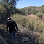
The trailhead to Oakzanita Peak  starts by taking the East Mesa Fire Road Trail which is clearly marked at the trailhead start (see above photo).  From here we stayed on the road the entire 2.9 miles up the trail until it links into the Oakzanita Trail which is a 1.5 mile hike over to Oakzanita Peak.

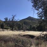
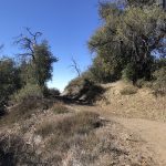
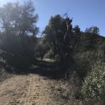
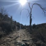
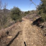
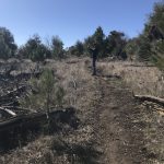
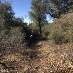
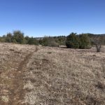
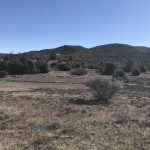
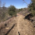
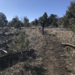
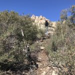
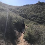
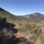
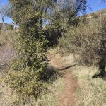
My three favorite hiking colors in nature, brown, green and blue were on full display this Thursday morning.  The rich beige and browns of the hard packed earth and sand Fire Road Trail trail, the vivid bright blue sky and natures various shades of green on full display as the vegetation of the Cuyamaca Rancho State Park area was brought to life by recent rains.  
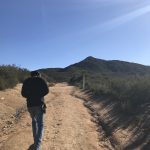


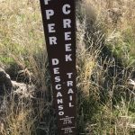
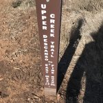
There is an alternative trail which branches off of the Fire Road called Upper Descanso Creek Trail which links in about .6 mi from the trail head start point and in fact is the trail we took down from the Peak.     Upper Descanso Creek Trail will link you into the Oakzanita Trail.  Taking this way up is a much steeper ascent but does knock of nearly .75 mile off the hike.  Thus if you took this section up and back your hike would be about 1.5 miles less in distance than doing the Fire Road out and back. 


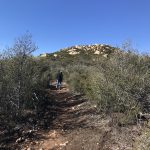
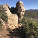
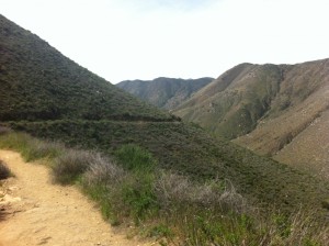
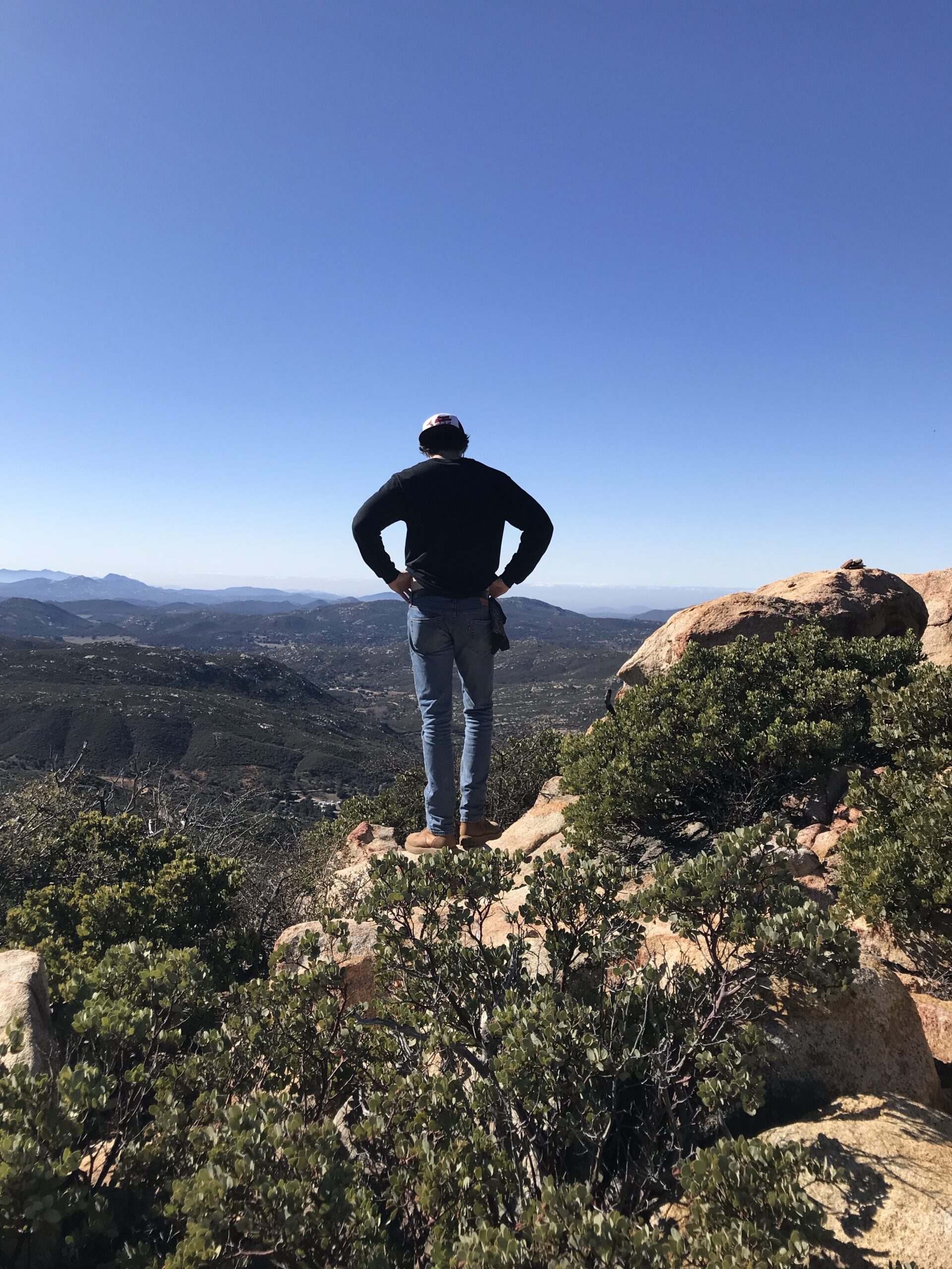
As we made a right turn at the Oakzanita Trail sign, we knew we had about 1.5  mile to go over to Oakzanita Peak.  This was my favorite part of the hike.  As you gaze left you see wide open meadows, the East Mesa, that seemingly stretches for miles.  To the right, the view of Oakzanita Peak becomes clear and its boulder encrusted summit juts out in majestic form.  
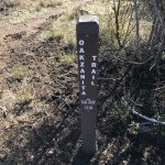
 

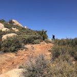
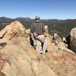
Soon you will come to another marker that states .6 to Oakzanita Peak.  From here the trail gets rockier but well worth the last push and ascent to the peak.  Beautiful 360 views from the peak including views of Stonewall Peak, Cuyamaca Peak and Middle Mountain as well as in the distance Eagle Peak.
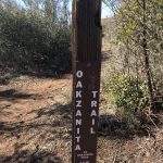
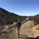
 

To descend go back .6 mile to the Oakzanita Trail  marker and decide if you want to go back the same way up along the Fire Road Trail the 2.9 miles or turn left at the marker and join  the Upper East Mesa Creek Trail which will take you 1.6 miles  to the Fire Road and back to the trailhead start.  This route is somewhat less in distance and a narrower rockier trail.  However, I liked going back this way to add more diversity of vegetation and scenery.  
 

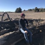
Love my first time hiking Oakzanita.  My son, better known as the Trailmaster due to his ability to find these rich and fulfilling hikes had hiked this before and wanted to introduce me to this adventurous hike.  Great challenge of trail, love the diversity of vegetation and scenery as well as incredible views.  Not to mention being out in nature and the calming theraputic effect nature provides.   
Hike on!
Cedar Creek Falls Hike, Julian, CA 03/29/2013

Distance:  5 miles   Date and Time:  Friday Marc

h 29. 2013  11:30AM – 2:30AM  Temp:  80’s  Hikeability:  Strenuous  

Best Hiking Months:  November through May  Water & Food: 1 gallon water per person, 1 bottle gatorade, lunch, oranges and snack bars


If you want to add some thrill and excitement to your hiking repertoire than the Cedar Creek Falls trail is the one for you.  

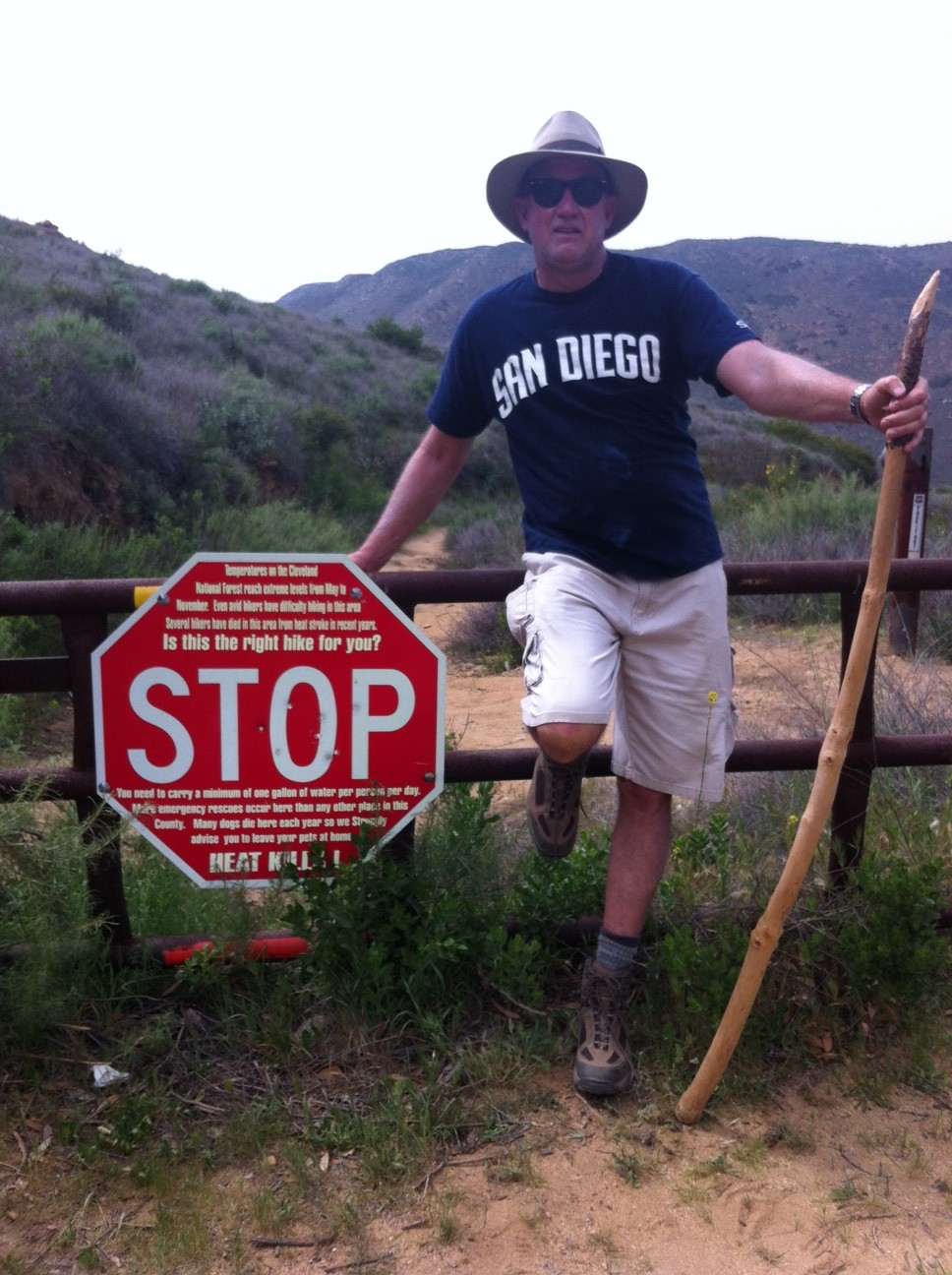
Of all the trails I have hiked in our county I have yet to go on one that posts a sign at trailhead start that warns “HEAT KILLS! and IS THIS THE HIKE FOR YOU?

 It is no wonder that besides Torrey Pines and Cowles Mountain Cedar Creek Falls has the highest amount of rescues in the San Diego County Sheriff jurisdiction.

Luckily I didn’t read this sign until I had completed the hike.  All warnings aside, this may be one of the most scenic and beautiful trails I have hiked. 

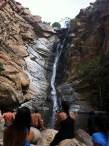
Not only does this trail offer great mountain views, diverse vegetation and dessert chaparral, but the undeniable reason anyone hike’s this trail is the 90 foot cascading waterfall at the midpoint of this out and back hike.

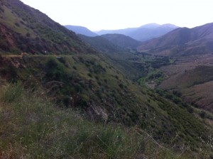
Even the drive to the trailhead start provides mile after mile of the natural raw beauty that the area surrounding Julian, CA is known for.   

There are two approaches to Cedar Creek Falls and the hike detailed here is from the East approach.  From Santa Ysabel(Dudley’s), take Highway 78 east towards Julian to Pine Hills Road, turn right (from this turn it is 20+ minutes to the trailhead). Turn right onto Eagle Peak Road.  

 The last 8 miles of Eagle Peak Road are dirt but this does not detract from what this hike offers and in my opinion adds to the remote beauty of the adventure. Once you come to the end of Eagle Peak Rd, you will dead end into a cul-de-sac and the trailhead start.  

You can park alongside the road edge but be aware that on the weekends the road gets pretty full.  After you park walk towards the cul-de-sac with the tree in the middle of the road and veer right to the trailhead start. 

This trail is unique in many ways including the fact that unlike most hikes, the start to this hike immediately begins to descend for the next 2.5 miles it takes to get the waterfall.

You are essentially descending this trail to a valley surrounded by the local mountains of the Cleveland National Forest. 

The trail is very hike-able and although it is strewn with rocks in places the vast majority of the trail is made up of soft earth and sand. 

On the decent you have the mountainside to the left of the trail and the drop-off to valley floor below on your right.

The topography on this hike creates a sense of vastness and an open feel that adds to the majestic views that surround you. 

Signs along the way will chart your progress and before you know it you will be at trail end as you approach the valley floor. 

A signpost to the left will guide you to the waterfall.  The vegetation changes here and becomes denser with California Scub Oak and low-lying brush. 

Beware of Poison Oak which are those deep red leaves growing from the low lying plant, bush. 

You will come to a few places where  rockbeds indicate you are crossing a river and depending on the time of year and rain/snow fall the depth of the river at these crossings will vary. 

When I did this hike at the end of March I had no problem stepping across the river on rocks that were dry and easy to maneuver. 

The trail will lead you right up to the falls along with more and more hikers as you approach. 

Enjoy a long break here with lunch as you take in the sounds and sights of the falls and the people watching of the cliff divers and others who join you at this oasis amidst the rocks, scub and the good size waterfall pool.

Once you are done enjoying the reason why you are doing this hike, it will be time to return and the ascent back. 

Take your time if you must, drink a lot of water and enjoy the accomplishment of hiking Cedar Creek Falls!

Although this hike is highly touted as one of the most dangerous hikes in the County, so long as you are well prepared with lots of water, good hiking shoes, and plenty of common sense you will be rewarded with a great hiking experience!